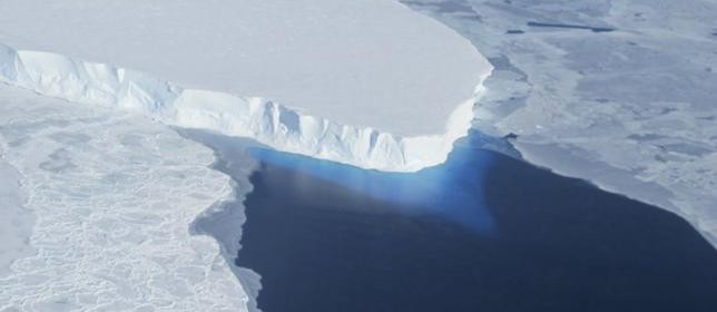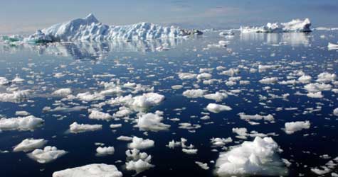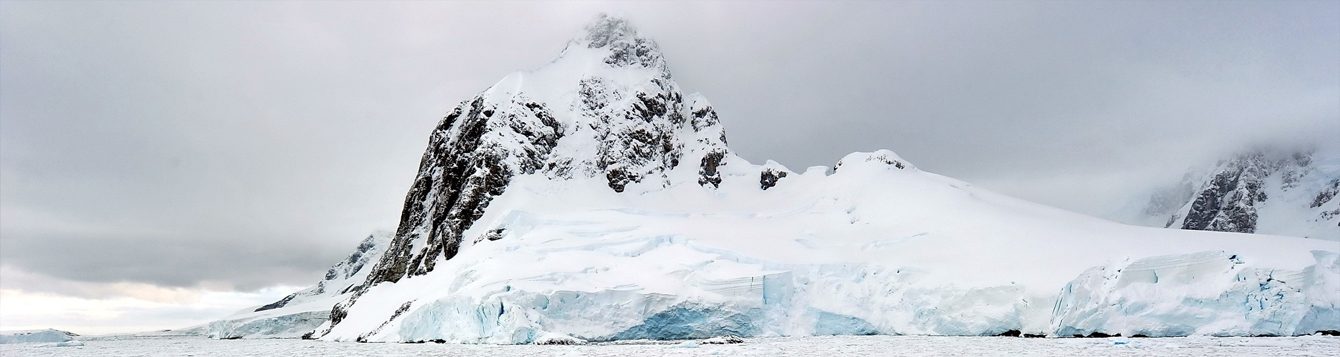
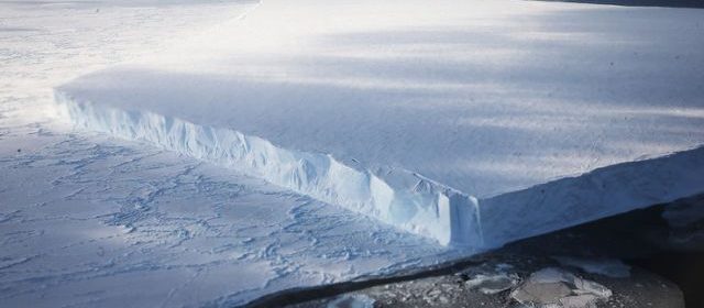
Sea Levels Will Rise if Antarctica’s Ice Continues to Melt
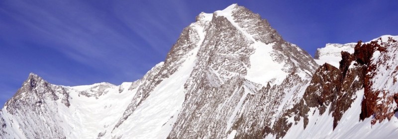
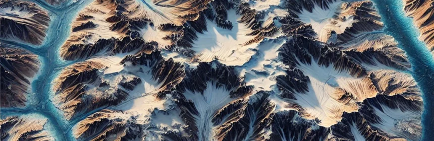
Millions of years ago Antarctica was not where it is located today. It started off in the mid-latitudes and started moving about an inch to two inches a year to the bottom of the earth. The continent also had palms and baobab trees and reptiles and marsupials. The mountains, valleys and inlets are still located on the continent. Antarctica measures […]
Read more